 |
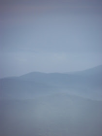
| Scenic spot on the Cherohala Skyway taken Aug 2011 |
Chief Junaluska is credited with saving the life of General Andrew Jackson. As president, Jackson would later authorize the removal of the Cherokee Nation on the road now known as the Trail of Tears. I have been told that the museum is worth the stop. It was after hours when we came through this area. We have to see the museum next time.
 |
| Cherohala Skyway photo taken Aug. 2011 |
Sure, we could have turned around and gone back to Tellico Plains. I did check into places to stay in Robbinsville. But where's the fun in going back the way you came?
We were only halfway through our loop from Etowah to Etowah. There was daylight ahead and the best was yet to come. We decided to press on with our original plans.
After a quick stop for gas and a McDonald's drive-thru we pointed our car toward Hwy. 129 and Cheoah Development.
A few miles after that we would begin our drive on what some consider to be the most dangerous stretch of pavement in the US. This would be the stretch of Hwy. 129 that is known as 'Tail of the Dragon'.
For now, we put our excitement aside and drove over to the TVA Cheoah Development. (Next...)

No comments:
Post a Comment